Somebody over on Reddit this week linked to a Google Earth Timelapse showing more than 35 years of satellite imagery taken above Dallas-Fort Worth. It functions as a pretty effective short film about the region’s suburban expansion over the last few decades. Call it Concrete: The Movie. It’s also a reminder of the limits of this kind of sprawling growth, and of the need for smart, focused development. Just building a lot of infrastructure doesn’t necessarily create a sustainable system that serves all North Texas residents. This happens to be related to what people are talking about right now at an online symposium hosted by the Coalition for a New Dallas. The bit about tearing down I-345 starts in 15 minutes.
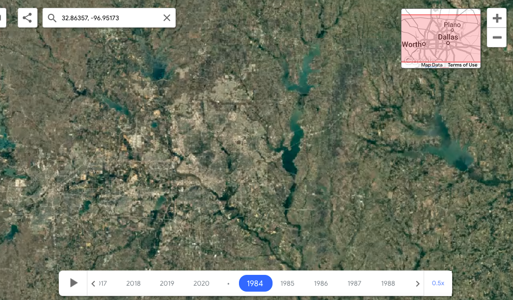
Before (1984):
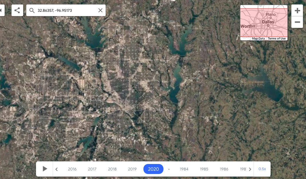
And after (2020):