My parents got me hooked on maps. when i was 5 years old, they gave me my first fix, a Rand McNally atlas, preempting the inevitable “Are we there yet?” on our annual trip to the beach. With my map, I took detours that time and parents wouldn’t allow, imagining what those small towns off the beaten pathmight look like, wondering why someone would want to live in Bird-in-Hand, Pennsylvania. I was wiring my three-dimensional view together with this two-dimensional representation of my place in this big world. That was the real high.
Today, I’m still addicted to maps. I recently stepped up to Google Earth Pro to find out what new features it had. 2010 Census data by tract? Yes, please! Average daily traffic counts on individual streets? Double dose of that!
Diving into all this data brought to mind the work of Jan Gehl. He’s the preeminent Danish city planner who did a study of public places for the city of Adelaide, Australia, which wanted to learn how it could compete for talent with Perth and Melbourne. Gehl’s team mapped several aspects of the city that they’ve determined are indicators of desirable places. The primary indicator? People. Real ones. Not the theoretical ones in architectural renderings. Some of the features they mapped required a professional value judgment. Did the buildings want to be close to the street and engage it with porosity (doors and windows), or did they barricade themselves from it? Other features were more objectively identifiable, such as how many cafe tables are set out by businesses.
Why do outdoor cafe tables cluster in some areas and never appear in others? Aided by Google Earth Pro and my own mental map of Dallas, I began making my maps, plotting outdoor cafes. What emerged was clusters in predictable areas: McKinney Avenue, Lower Greenville, State-Thomas in Uptown, Main Street downtown, the West End, Knox-Henderson, and Bishop Arts. These places all have two things in common. First, they evoke a sense of place. You can imagine them and perhaps even recall experiences you’ve had there. Second, on a population density map, the places all stand out.
But looking at such a population density map, one area was missing: Oak Lawn. Where are the cafe tables, chairs, and shade umbrellas on Oak Lawn? It is one of the more densely populated areas of Dallas. Too, there’s plenty of traffic, the lifeblood of any business. And therein lies the problem.
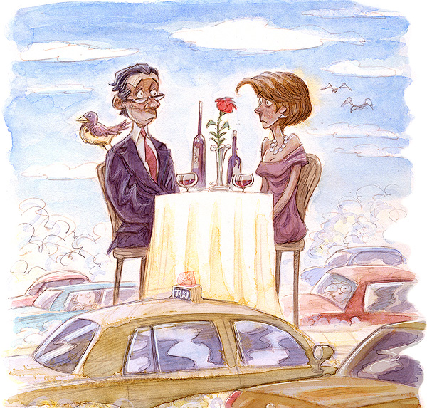
Cafe-goers seek pleasant views, a feeling of immersion in the neighborhood, and good people-watching. In other words, they want comfort. It’s impossible to feel comfortable while cars whiz past sidewalks that are too narrow or too near the street for pedestrians.
Sure, there are a few outdoor cafes on Oak Lawn (none that didn’t overlook a parking lot), but I had to hunt them down on Google’s Street View, because they didn’t spring to mind. And that is another part of the problem. Oak Lawn Avenue itself is not critical to the neighborhood that it defines. It divides rather than attracts. When thinking about Oak Lawn, I mentally wander to places I can picture: Turtle Creek or up Cedar Springs or Lemmon. Even in my mind, I try to get away from Oak Lawn as soon as possible—which is precisely what it was designed for.
Moving vehicles has been the one and only consideration in all urban development decisions. The outcomes are never good. A road that moves cars faster only attracts more drivers. Oak Lawn sits in the middle of some of the most desirable parts of the city. Yet no one wants to spend any time on it.
The usual argument against restricting traffic flow is that it will hinder economic development. But look at downtown Dallas. Google Earth Pro tells me that the average number of cars per day on Main Street has dropped by 50 percent in the last 15 years, but we’ve seen a resurgence of investment and pedestrian activity where it narrows.
Let’s narrow Oak Lawn to one lane in each direction between Cedar Springs and Blackburn. Use the reclaimed land to offer parking on the street as a buffer for cafes, provide incentives to property owners of vacant parcels and parking lots to build, and allow existing businesses to expand outdoor seating. Narrowing the road won’t create traffic Armageddon. Just the opposite, really, as Oak Lawn residents reemerge from the fallout shelters known as their homes and begin to reacquaint themselves with their neighbors.
If people attract people and cars repel them, then we need more places that attract people, places designed to invite you to spend time, not just save it.
Write to [email protected].


